How to Use Precise Geospatial Data to Effectively Target Your Market
Location matters and understanding how to leverage geospatial information can make or break your marketing tactics, especially when using direct mail. In this blog, we’ll review the most commonly used form of geospatial targeting, discuss its limitations, and propose accessible alternatives that take a more practical and data-driven approach to ensure that every dollar spent is contributing to the ROI of your marketing and communications efforts.
The Importance of Precision in Geo-Targeting
Precise geotargeting is a pivotal step towards maximizing return on investment (ROI) while minimizing financial waste – that’s because qualifying based on geographic proximity is the easiest and most effective way to ensure that every dollar spent contributes directly to reaching qualified audiences. This is especially true when using direct mail, which is one of the most expensive direct marketing channels. Using imprecise geotargeting always results in unnecessary overspending of marketing budget and artificially capping ROI potential.
The problem with Zip Codes
Zip codes, although the most used geographical targeting tool, are quite the opposite of precise and often contribute to spending significant budget on unqualified prospects. Contrary to popular belief, zip codes serve the postal service merely as logical groupings of mail carrier routes, essentially a collection of disconnected neighborhoods and streets versus a cohesive geographic shape with determined boundaries. The United States Postal Service (USPS) assigns zip codes to addresses to create abstract spaces for delivery locations, ensuring optimization of carrier routes. This means that households throughout one zip code can have a completely different zip code than their surrounding neighbors, making zip codes one of the least precise methods for geographic segmentation. As a result, zip code targeting often misses valid prospects while spending budget on invalid ones.
Now that we’re on the same page about how crucial precise geotargeting is, let’s get down to the nitty-gritty. How do you do it?
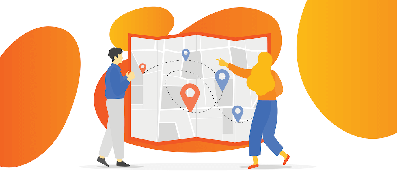
How to Leverage Precision in your Geotargeting
The most precise tool for geographic targeting is defining and creating geospatial objects, often simply referred to as “custom shapes”. This is exactly what companies like Zillow allow their users to do: build a custom shape by dropping points on the map to precisely configure the geospatial object you’d like to target. So, all that’s really needed to get started with more precise geotargeting is simple: a provider that can give you such an interface to query their available lists. What’s more challenging is figuring out exactly how to craft your custom shapes.
Using Custom Shapes
Picture this: instead of casting a wide net with zip codes, custom shapes enable you to tailor your campaigns to hyper-qualified audiences. Your message reaches individuals who are not just interested in your products but are also strategically positioned in the regions where your offerings are most relevant. The result? A higher return on investment and an increase in campaign success rate. By making the strategic switch from zip codes to custom shapes, you’re not just sending messages; you’re crafting laser-focused narratives that resonate with your audience, eliminating the noise and ensuring that every dollar spent contributes to meaningful engagement.
The goal of using a custom shape can vary significantly based on your business and industry. For brick-and-mortar marketing, the sole goal of your custom shape might be to capture everyone within a specific drive time of a store location. For a tree-service company, custom shapes might be used to target households within a service perimeter that borders wooded areas. Regardless of the business model however, data providers that accept geospatial objects as list criteria can eliminate significant budget waste.
More Ways to Use Custom Shapes
Highways, Rivers and Neighborhoods
Recognizing neighborhoods, rivers, and highways, often defined by local communities, city planning departments, or geographical features, offer tangible and community-driven bases for segmentation. Particularly relevant in urban and natural landscapes, this method allows businesses to align their marketing strategies with the distinct characteristics and preferences of specific neighborhoods, water bodies like rivers, and transportation routes such as highways. Fostering a more localized and community-centric approach, this approach enables a comprehensive understanding and connection with the unique qualities of diverse environments.
Competitor Locations
By customizing geotargeting shapes around competitor areas, you can strategically tailor your marketing efforts to capture the attention of their audience. This allows for a nuanced and targeted approach, enticing potential customers in proximity to competitors and creating a strong presence in key market zones. It’s a savvy way to outshine the competition and make your brand stand out in the crowd.
Complimentary Locations
Consider strategically aligning with complimentary locations. Picture tailoring your marketing approach to complement areas that resonate with your brand. This intentional move aims to resonate with potential customers in locations that naturally align with your offerings, presenting your brand as a harmonious choice. It’s a sophisticated strategy that positions your brand presence with purposeful precision, creating meaningful connections in the market.
Geo-Demographic Segmentation
The integration of demographic data with geographic locations forms the foundation of geo-demographic segmentation. This approach leverages sophisticated algorithms to combine lifestyle, behavior, and location data, resulting in more precise target segments, allowing businesses to tailor their messaging to resonate with the unique characteristics of each audience. In fact, here at Strata we use our proprietary geo-targeting software, to do just this, specifically targeting key customers with relatable and relevant messaging.
Neighborhood Focus
So, what does all this mean? Industries like healthcare, grocery, restaurants, retail and more increasingly find value in location-based marketing that transcends traditional zip code constraints. This strategy, extending beyond geographical boundaries, proves cost-effective in direct mail campaigns where postage is usually the largest expense. By using geospatial boundaries and targeted shapes, businesses strategically cut unwanted recipients, significantly reducing postage costs and maximizing the impact of their marketing efforts.
In the digital era, personalized and targeted advertising is paramount, and geospatial intelligence creates a more efficient and tailored connection with the audience. Beyond cost savings, businesses can enhance customer engagement by delivering location-specific promotions, fostering brand loyalty. Overall, this approach allows for the reallocation of resources, optimizing both cost and quality of marketing, and represents a transformative shift in elevating the overall efficacy of marketing initiatives.
In navigating the landscape of targeted marketing, the key lies in harnessing the right technologies to bring your strategies to life. Achieving precision through custom shapes, geo-demographic segmentation, and other advanced alternatives requires a tool that empowers you to draw those custom shapes on a map.
Looking to learn a bit more? Connect with a Strata expert today to hear more about our cutting-edge services that enable you to draw custom shapes with ease and reach the full potential of your direct mail and other marketing campaigns.
Back to Blog